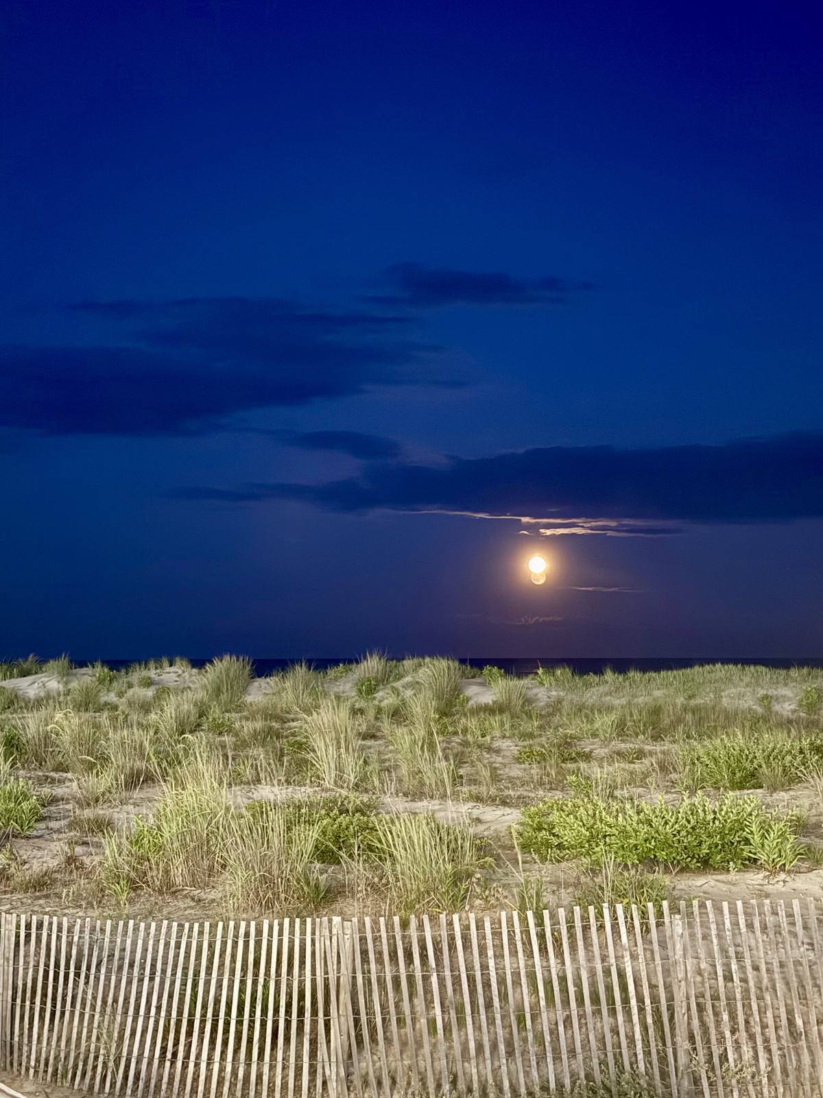
After an upper level low stalled over the region bringing heavy rainfall, especially across portions of the Lehigh Valley, Northern New Jersey, and the Albany area, we look to have a break from wet weather heading into tomorrow and Saturday, before making a return on Sunday.
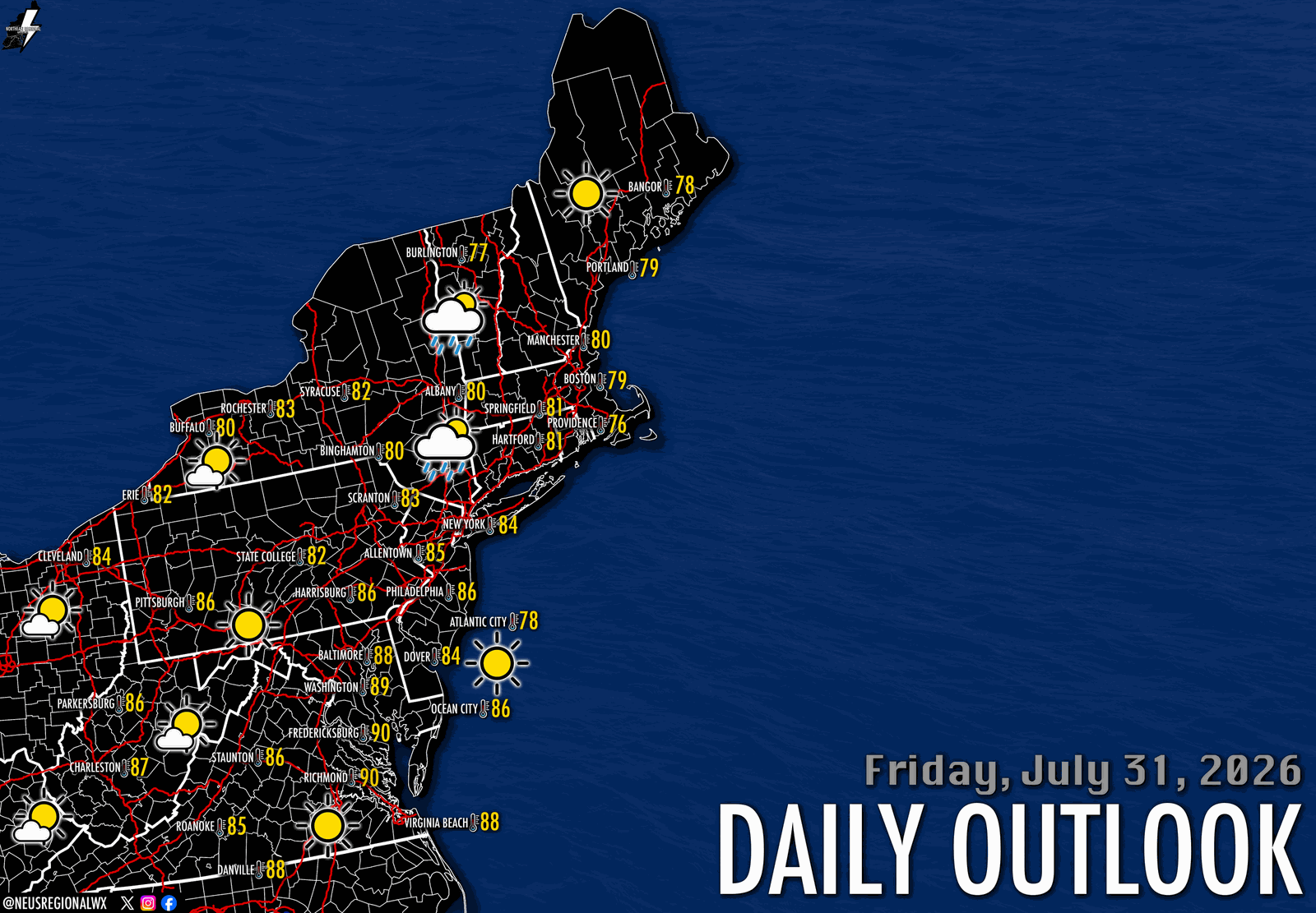
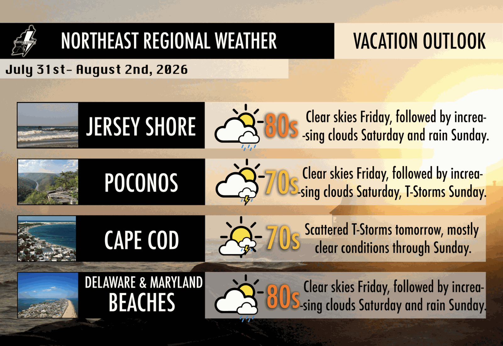
Clouds will exit this evening for mostly clear conditions in the Mid-Atlantic Friday. Our upper level low will be exiting the region Friday afternoon, so a chance of scattered showers and perhaps a thunderstorm or two will be present, especially along portions of the Northern Jersey Shore, Long Island, and Southern New England. However, this shouldn't disrupt outdoor activities, and should allow for an easy time outdoors for much of New York, New Jersey, Maryland, Delaware, Pennsylvania, and Virginia. For this weekend, Friday is definitely the cream of the crop, especially if you're on the beach or at the lake. High temperatures will be in the upper 70s to 80s region-wide.
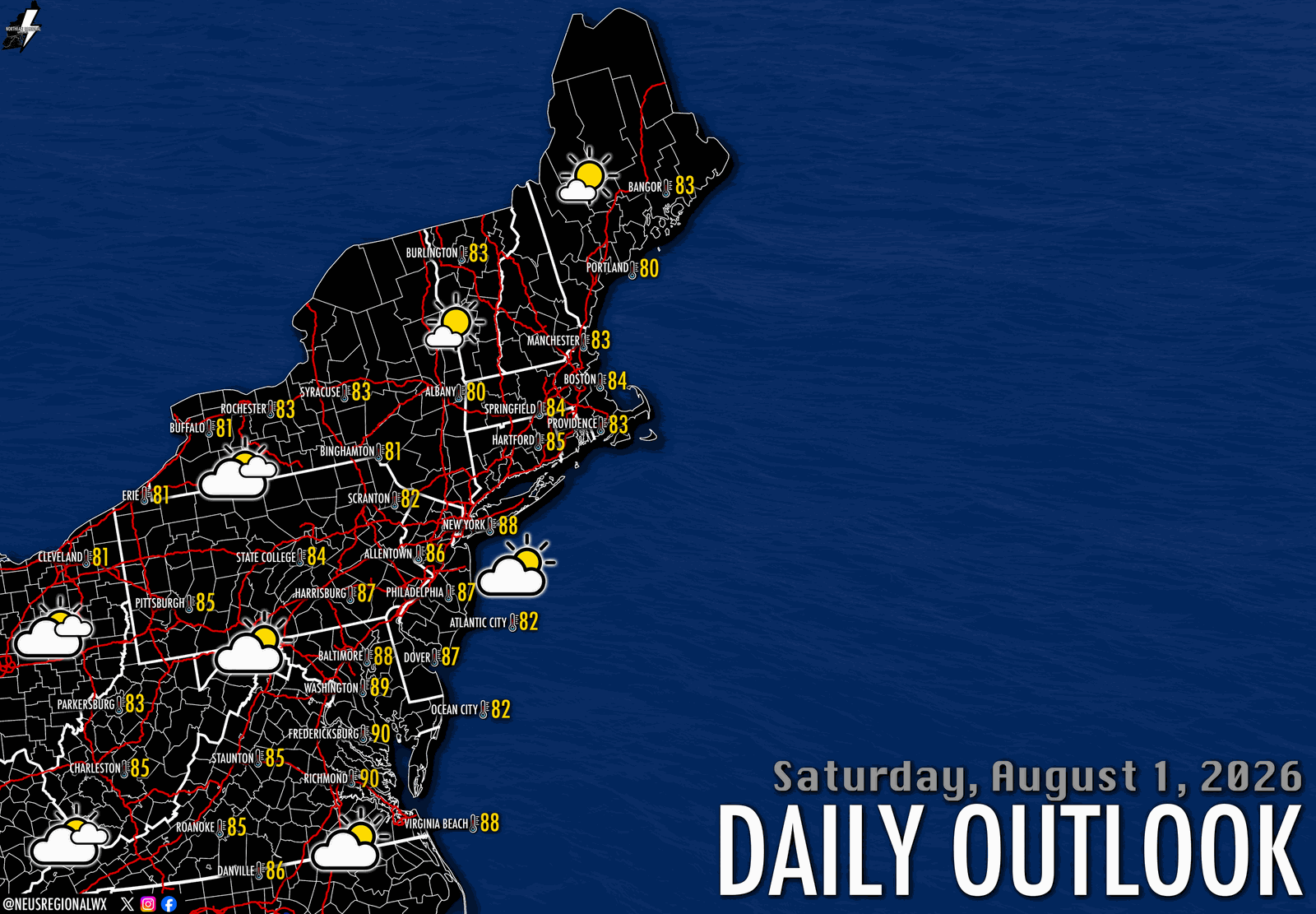
For Saturday, a front approaching from the west will bring increasing clouds throughout the day from west to east. This front is partly responsible for kicking out the upper level disturbance that has been giving our area dreary conditions all week long. However, cloud cover will be persistent, especially areas west of New York City, though areas in Southern New England will likely remain mostly sunny. Although we will have increasing clouds in western zones, rain chances look nonzero throughout the day on Saturday, which should limit any disruptions to outdoor activities. Temperatures will once again be in the upper 70s to 80s region wide, with a bit of a warmer and humid look in comparison to Friday.
Rain eventually makes a return on Sunday as the front closes in on the region. Details at this time are unclear, but the ingredients are there for intermittent scattered showers and thunderstorms. This will mostly be in the afternoon, and across areas west of New York City, but the exact timing of the frontal boundary may need to be monitored throughout this weekend. Details will be updated as we draw closer.
From Northeast Regional Weather, thank you for reading, and have a fantastic weekend.